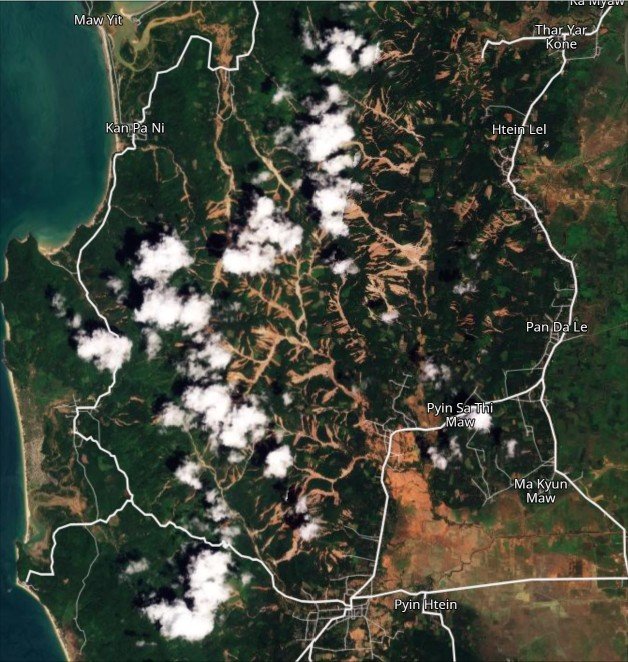
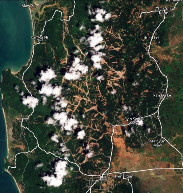
A low pressure system triggered hundreds of landslides in the west of Myanmar in September. My calculation is that there were 12 fatal landslides killing 40 people.

On 25-26 September 2026, an area of low pressure over the North Andaman Sea generated strong monsoon conditions across southern Myanmar. The system generated torrential rainfall, most notably in Tanintharyi Region, and there were reports of landslides and flooding.
Relief Web has a good summary of the event. They report 25 fatalities and 11 injuries (but I don’t think this is reliable), with over 49,000 people affected. By analysing news reports, I have identified 12 fatal landslides causing 40 fatalities.
Planet Labs has now captured good satellite imagery of this event. The image below is centred on 14.02735° N, 98.11304° E [14.02735, 98.11304]. It was captured on 1 October 2026:-
By way of comparison, this is the same area before the rainfall:-
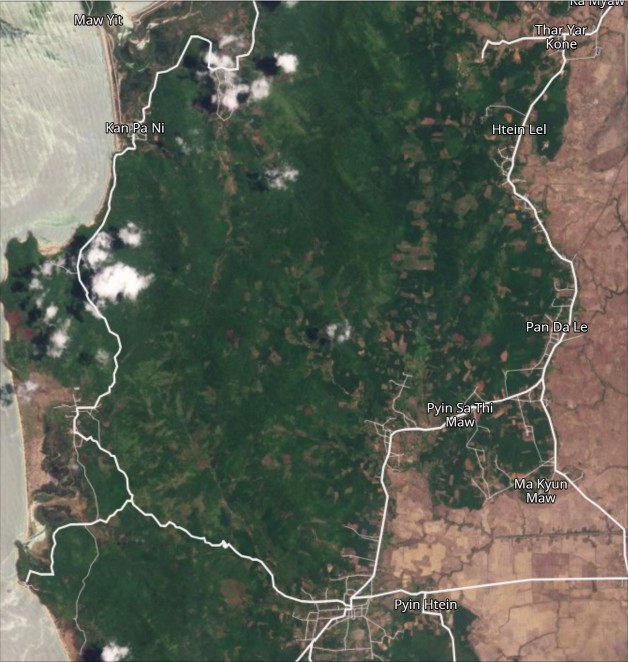
And here is a slider to allow the images to be compared:-


Immediately to the south there is another area of landslides with a similar pattern:-
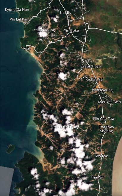
Once again, we are seeing a very intense area of landslides, mostly consisting of shallow failures that have combined to generate channelised debris flows. It is interesting to note that prior to the landslides, this area had a complex pattern of vegetation. It would be interesting to investigate how the landslide pattern relates to this.
Acknowledgement
Many thanks to the kind folks at Planet Labs for making their imagery available under the Science Programme.
Text © 2026. The authors. CC BY-NC-ND 3.0
Except where otherwise noted, images are subject to copyright. Any reuse without express permission from the copyright owner is prohibited.