A powerful severe weather outbreak is hammering the Midwest and Great Lakes Thursday, and the Chicago area sits directly in the path of the worst of it. The National Weather Service issued a Tornado Watch through 9 p.m. for northern Illinois and northwest Indiana, with strong tornadoes, large hail, and wind gusts up to 80 mph all in play.
Peak Danger Window:
From 4 p.m. to 8 p.m. Thursday, when a second line of storms pushing in from Iowa is expected to produce strong tornadoes, damaging winds, and flash flooding across the Chicago metro.
Why Chicago Is Under a Rare Level 4 Out of 5 Severe Weather Risk
The Storm Prediction Center placed most of the region under a Level 4 out of 5 risk, its second-highest category. Forecasters set a 70% probability of a tornado within 50 miles of any point in eastern Iowa and northern and central Illinois. Supercells are expected to fire along the cold front before merging into a line capable of widespread wind damage, with gusts of 70 to 75 mph or higher.
Two Rounds of Storms, and the Second Is the Dangerous One
The morning round downed trees and knocked out power. The second round carries the primary tornado, wind, and hail threat. Breaks of sunshine between rounds are actually fueling the incoming storms, allowing them to intensify as they push east. A Flash Flood Watch runs through 4 a.m. for Cook, DuPage, Will, DeKalb, Grundy, and Kendall counties plus northwest Indiana, with rainfall rates topping 1 to 2 inches per hour.
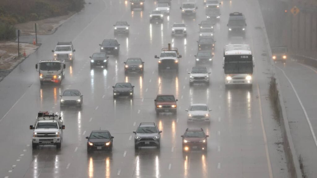
Road Conditions on I-90, I-88, I-80, and I-55 Are Deteriorating Fast
Standing water, downed trees, and debris are already on area interstates. As little as 12 inches of moving water can sweep a passenger vehicle off course, and ride height does not protect SUVs or trucks. If a Tornado Warning is issued while driving, pull well off the road, away from trees and power lines, and get low. Never shelter under an overpass, which funnels and accelerates wind. O’Hare and Midway both saw ground stops, with O’Hare delays near three hours.
5 Things Drivers Should Do Before Heading Out
- Enable Wireless Emergency Alerts on your phone
- Check weather.gov for your county’s active warnings
- Identify safe buildings along your route, not overpasses
- Pull under a gas station canopy or parking structure if hail begins
- Never drive through standing water, even if it looks shallow
When the Severe Weather Ends in Chicago
The worst clears after 9 p.m. for most of the metro, with calmer conditions returning Friday. Residual flooding and debris will linger into Friday morning. Monitor the NWS Chicago office for real-time warning updates.