
Research & Developments is a blog for brief updates that provide context for the flurry of news that impacts science and scientists today.
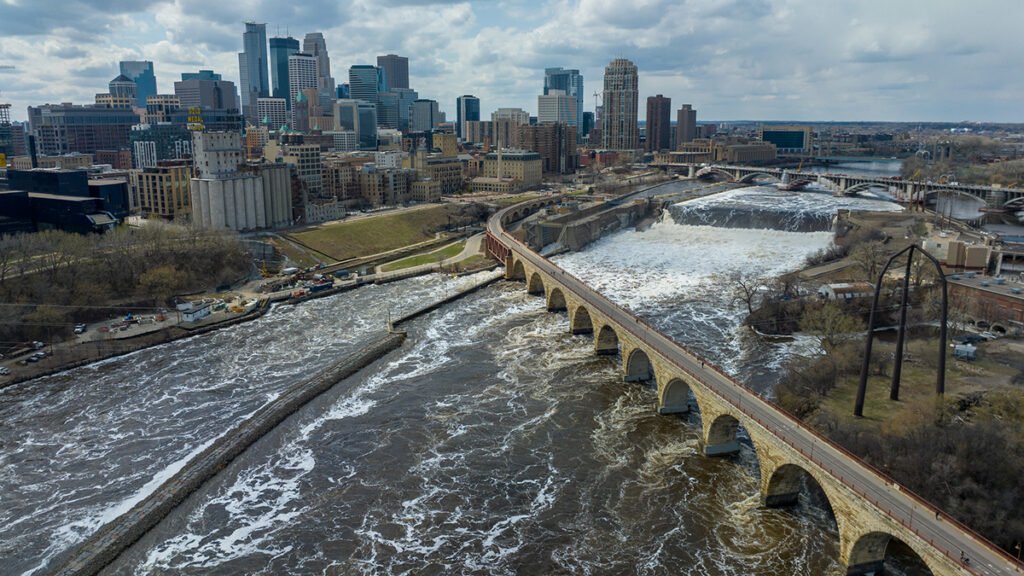
In the contiguous United States, crop irrigation, municipal water supplies, and thermoelectric power generation use more than 224 billion gallons of fresh water every day. Conducting water research or making decisions about water use, until now, often required referencing datasets across various agencies. The U.S. Geological Survey National Water Availability Assessment Data Companion (NWDC), announced this week, aims to streamline this process. In part, the tool is designed to help decision-makers better understand the balance between how high demand and limited supply affect water availability in their communities.
“While the United States has abundant water nationally, regional imbalances between supply and demand may create water challenges affecting millions of Americans,” said lead scientist Shirley Leung in a USGS press release. “What once required significant resources and time can now be done in minutes, giving communities of all sizes the same foundation for water planning.”
The lower 48 is home to about 80,000 sub-watersheds, from those in the arid southwest to the Great Lakes Basin, which is home to about 84% of North America’s surface fresh water. According to the USGS, the NWDC is the first tool that integrates information about water availability in individual watersheds at a national scale.
The tool is designed to complement Water Data for the Nation (WDFN), another USGS product that consolidates observational data from the agency’s thousands of local monitoring stations gathering data on streams, lakes, reservoirs, precipitation, water quality, and groundwater. The new tool uses modeling to fill in spatial and temporal gaps between the observations made at these stations.
Users, such as water managers, researchers, or agricultural experts, can use the NWDC to compare watershed conditions, identify seasonal patterns in water use, or to create data visualizations of statewide water use, for example. Though the tool currently covers only the contiguous United States, it will soon be extended to Alaska, Hawaii, and Puerto Rico, according to the USGS.
David Tarboton, a professor of civil engineering at the Utah Water Research Laboratory, said he was “intrigued” by the new tool, and is interested in examining the data its model produces.
While Tarboton was disappointed that the tool’s most recent available data are from 2020, “having a sort of integrated, wall-to-wall dataset that’s consistently produced is very valuable,” he said. He works, in part, in the areas of hydroinformatics and data sharing, and noted that the modern methods the agency is using to share the data could be useful in developing automated tools.
—Emily Gardner (@emfurd.bsky.social), Associate Editor
These updates are made possible through information from the scientific community. Do you have a story about science or scientists? Send us a tip at eos@agu.org.

Text © 2026. AGU. CC BY-NC-ND 3.0
Except where otherwise noted, images are subject to copyright. Any reuse without express permission from the copyright owner is prohibited.