
The Landslide Blog is written by Dave Petley, who is widely recognized as a world leader in the study and management of landslides.

According to Wikipedia, Pikillaqta is a large archaeological site located 20 km to the east of Cusco in Peru. Inhabited by the Wari people, it was abandoned at about 900 AD for reasons that have not been clear. At the point of abandonment, the site was incomplete, with several key buildings still being under construction. Thus, there has been considerable speculation as to why the site was left by the Wari people.
This area of Peru has a high level of seismic hazard. In the historical record, major earthquakes occurred in 1650, 1950 and 1986 in the immediate area. In a paper just published in the journal Geoarchaeology, Garcia et al. (2025), explore the hypothesis that the abandonment of Pikillaqta might be associated with earthquakes and a landslide at the site. Note that, although the paper is behind a paywall, the link should provide access for all.
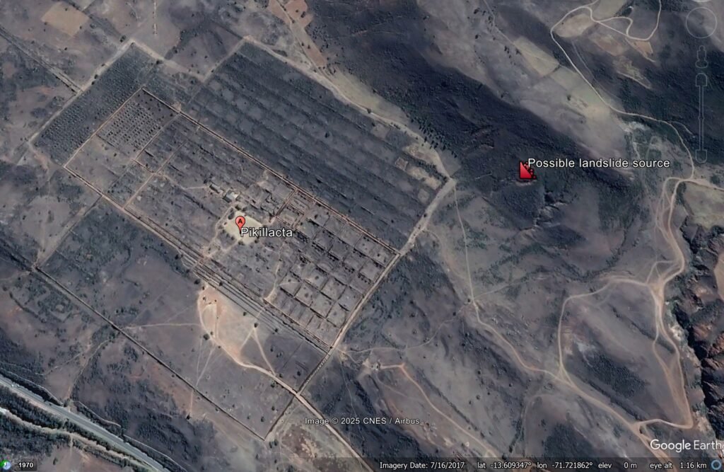
The image below shows the site in 2017 – note the scarp to the northeast of the site:-
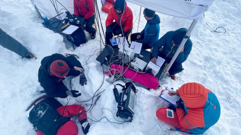
A large part of Garcia et al. (2025) focuses on documenting so-called Earthquake Archaeological Effects at Pikillaqta – these are pieces of evidence in the archaeological record of past earthquake events. They have found 149 pieces of evidence, such as collapsed walls, and they infer from the orientations of these that they record the impacts of two large earthquakes (one between 856 and 988 CalAD and one between 770 and 900 CalAD) that have been identified from palaeoseismological studies of local faults.
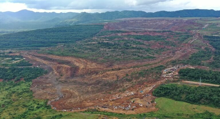
But interestingly, Garcia et al. (2025) have also investigated a geological deposit, up to 3 m deep, in and around some of the buildings. This has the sedimentological characteristics of a debris flow, and it contains a fragment of an animal bone that has been dated to 766–898 cal AD. They have then used a high resolution digital elevation model to map the debris flow deposit. They have concluded that it initiated from the scarp to the northeast (see the label on the the Google Earth image) and then flowed through parts of Pikillaqta.
Radiocarbon dating is not precise, so this debris flow could have been triggered by an earthquake, or it could have been associated with exceptional rainfall (or a combination of the two, of course). But there is little doubt that the earthquakes and the landslide caused substantial damage to the site at about the time of abandonment, even when construction was ongoing.
The authors recognise that this is an unproven hypothesis, and encourage further research. But it is deeply fascinating to see how earthquakes and landslides may have shaped the events at this key archaeological site.
Reference
García, B., C. Benavente, M. Á. Rodriguez-Pascua, et al. 2025. Prehistoric Evidence of Crustal Earthquakes and Debris Flow in Archaeological Site of Pikillaqta in Cusco: Archaeological Implications. Geoarchaeology 40: 1-14. https://doi.org/10.1002/gea.70033.
Text © 2023. The authors. CC BY-NC-ND 3.0
Except where otherwise noted, images are subject to copyright. Any reuse without express permission from the copyright owner is prohibited.