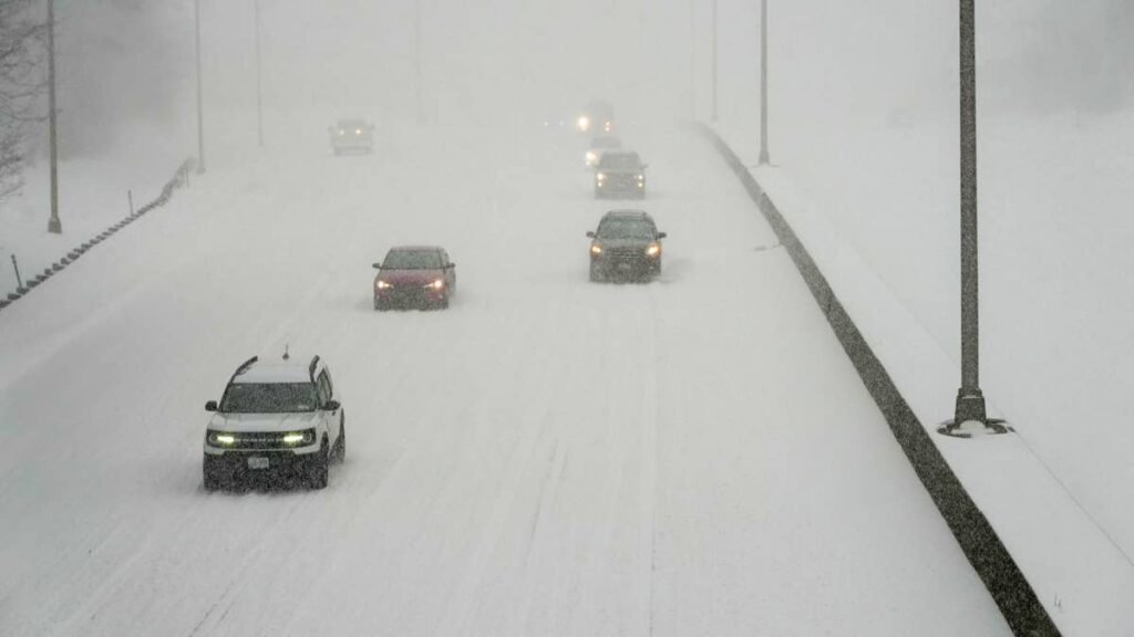
Early season snow is piling up on several major highways in the far north, and the National Weather Service forecasts up to 12 inches in one mountain pass, with gusts up to 35 mph adding blowing snow elsewhere. Under the current winter weather advisories, forecasters say roads, and especially bridges, are likely to turn slick and snow covered, and in one valley, rain falling at freezing temperatures is leaving a light glaze of ice.
Broad Pass, Denali And Parks Highways
Broad Pass has the highest forecast total, with an NWS Anchorage advisory calling for 4 to 12 inches, also covering the Denali Highway and Chulitna, until 11 a.m. ET Sunday.
On the Parks Highway between Mile Posts 202 and 237, including Cantwell and Carlo Creek, NWS Fairbanks expects up to 2 more inches, with gusts to 35 mph, over the same window. The advisory says difficult travel is expected along the highway, especially near Cantwell.
Thompson Pass And The Richardson Highway
Thompson Pass faces another 2 to 4 inches, with gusts up to 35 mph and visibility as low as half a mile. Travel could be very difficult there until 2 p.m. ET Sunday, with snow showers lingering after the wind eases.
The Richardson Highway between Mile Posts 202 and 224, near Trims Camp, could see up to 4 more inches, with gusts to 35 mph, until 8 p.m. ET Sunday.
Ice In The Upper Koyukuk Valley
Around Bettles and Allakaket, the problem is ice rather than snow. NWS Fairbanks extended its advisory there until 4 p.m. ET Sunday, citing reports of rain at 32 degrees or below that is leaving a light glaze of ice, with up to an inch of additional snow.
Dalton Highway
The heaviest snow so far has fallen along the Dalton Highway between Mile Posts 165 and 232, including Coldfoot and Wiseman, where NWS Fairbanks reported 4 to 8 inches. Forecasters singled out the stretch between Mile Posts 175 and 209 and said roads and bridges were already slick and snow covered.
Ocean And El Niño Context
Alaska climate specialist Rick Thoman noted on Saturday that sea surface temperatures in the north central Pacific have run at or near record highs every month this year, which can intensify storms and add moisture to systems that reach Alaska. For the season ahead, the Climate Prediction Center’s latest ENSO discussion gives a strong to very strong El Niño a greater than 83% chance of lasting through January to March 2027.
Bridges And Visibility
Bridge decks lose heat from above and below, so they can ice over while the road leading up to them is still just wet. Where gusts are blowing snow, visibility can drop quickly, and lower speeds give more time to react to a vehicle stopped ahead.
If a car does get stuck, our guide to getting out of deep snow can help. Current road conditions are available at 511.alaska.gov or by calling 511, and NWS advises keeping an extra flashlight, food and water in the vehicle.