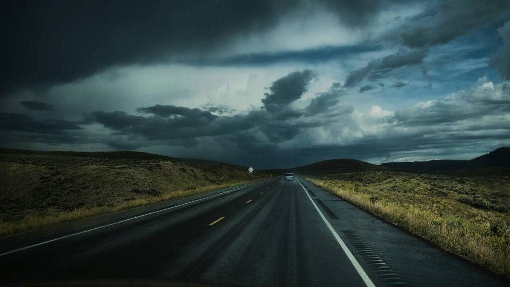
The Central Plains face a night of dangerous severe thunderstorms, with supercells capable of very large hail, damaging winds and isolated tornadoes moving across Nebraska, Iowa and Kansas Thursday evening. The Storm Prediction Center is flagging the corridor from Sioux Falls to Wichita as the highest-risk zone.
Peak danger window: Thursday early evening through overnight, when supercells transition into greater instability and could produce hail over 2 inches, wind gusts to 75 mph, and isolated tornadoes across major Plains interstates.
The Setup
Moderate northwesterly flow aloft is combining with elongated hodographs to support supercell wind profiles across the region. The Storm Prediction Center has forecast probabilities of 15 percent for both hail and damaging wind across the risk area, with a low-probability tornado threat in southern Nebraska and northern Kansas.
Storms are expected to initially fire as discrete supercells, which are the storm mode most capable of producing very large hail and tornadoes. As the evening progresses and storms move into greater instability, hail and wind threats will peak. Clustering could occur into the early overnight, which would extend the damaging wind threat through the Omaha and Kansas City metros.
Corridors Directly Impacted
- I-80: Omaha to Des Moines is at highest risk during the evening rush and into overnight
- I-29: Sioux Falls, Sioux City, Omaha and Kansas City corridor
- I-35: Des Moines to Kansas City, with the potential tornado threat closest in southern Nebraska and northern Kansas
- I-90: Sioux Falls to Rochester at risk from clustered storms overnight
- I-70: Kansas corridor between Salina and Topeka could see hail and wind
What Makes This Setup Dangerous
Very large hail is the primary threat. Hail over 2 inches in diameter can shatter windshields, dent metal deeply enough to total vehicles, and cause serious injury to anyone caught outside. Insurance losses from Plains hail events regularly exceed $1 billion in a single storm cycle.
The wind threat is the second concern. Isolated gusts to 75 mph can flip high-profile vehicles, drop tree limbs on roadways, and knock out power to entire towns. For trucks and RVs traveling the I-80 and I-29 corridors, sudden crosswinds during a squall line can be extremely dangerous.
The tornado threat, while low-probability, is real. Discrete supercells early in the evening have the best chance to produce tornadoes before storms merge into a line.
What Drivers Should Do
If you’re driving through the risk zone tonight, monitor NOAA Weather Radio or a weather alert app for warnings. Have a plan for where you would stop if a severe warning is issued. Never park under overpasses during a tornado warning. If very large hail is imminent, seek shelter in a covered parking structure if possible, or pull over safely away from windows.
For extreme weather driving preparation, Autoblog’s guide to handling severe weather on the road covers hydroplaning, crosswind response and what to do in a tornado warning. Check 511 Nebraska, Iowa 511 and KanDrive for real-time road conditions before you head out.