Up to three feet of snow could blanket the Eastern Alaska Range backcountry this weekend while 90 mph gusts hammer the Alaska Peninsula, putting the Richardson Highway corridor in the path of a multi-day winter assault. The National Weather Service Anchorage office issued a Winter Storm Watch today, Thursday May 7, 2026, layered atop active Winter Weather Advisories and High Wind Warnings that stretch from Bristol Bay through the eastern Aleutians.
Peak Driving Danger Window
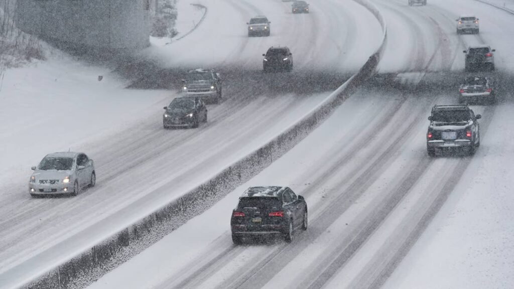
Sunday morning through Monday afternoon delivers the worst conditions for the Richardson Highway between Glennallen and Delta Junction, when 12 to 18 inches of new snow will combine with steep grades and refreeze on shaded passes above 2,500 feet.
What to Expect
- Snow totals: 12 to 18 inches at highway level in the Eastern Alaska Range; 24 to 36 inches possible in higher backcountry terrain
- Lower Kuskokwim Valley: 9 to 13 inches expected through Sunday morning
- Bristol Bay north of King Salmon: 8 to 12 inches expected through Sunday morning
- Wind gusts: 90 mph in Alaska Peninsula channels, 80 mph across the eastern Aleutians and Pribilof Islands, 75 mph on the Kuskokwim Delta Coast
- Worst corridors: Richardson Highway (AK-4), Tok Cutoff (AK-1), and Glenn Highway approaches near Eureka Summit
The setup is a textbook late-season Bering Sea storm: a deep low off the Aleutians dragging Pacific moisture northeast, then riding upslope into the Alaska Range where orographic lift wrings out the heaviest totals.
Road Conditions
The Richardson Highway is the most exposed paved corridor of the weekend. The stretch from Glennallen north through Isabel Pass routinely sees the worst conditions of any road in the state during spring upslope events, and AKDOT&PF maintenance windows tighten quickly when warning-level snow lands above 2,500 feet. Drivers should check Alaska 511 for chain advisories, closures, and live camera feeds before departure. AWD alone will not save you on glaze ice; review our AWD vs 4WD breakdown before committing to a long-haul drive.
Winter Driving Tips
Tread depth matters more than tire badge. Confirm your snow tires read at least 4/32 inches across the contact patch; below that you are driving on summer rubber regardless of the sidewall stamp. Cold air drops tire pressure roughly 1 to 2 PSI per 10 degree Fahrenheit drop, so check pressures before leaving a heated garage. On packed snow, plan for triple your normal stopping distance. For long Interior runs, see our winter driving practices guide and best vehicles for snow roundup, and review NWS winter weather safety before departure.
Timing
Winter Weather Advisories and High Wind Warnings run tonight through Sunday morning. The Winter Storm Watch covers Sunday morning through Monday afternoon, with peak Richardson Highway impacts Sunday night into Monday morning. NWS Anchorage discussions flag a second Bering Sea low queued for midweek that could re-energize the same corridors. We’ll update this article as conditions evolve.