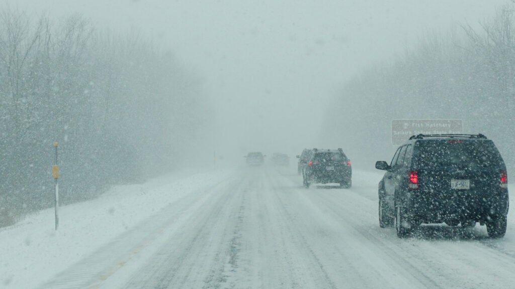
The Northern Plains and Pacific Northwest are bracing for a brutal stretch of winter weather that will make highway travel exceedingly dangerous, if not impossible, over the next 48 hours.
Two powerful storm systems are lining up to hammer the northern tier of the United States through Saturday, and the National Weather Service is urging drivers to seriously reconsider any travel plans.
Extreme Winds Hit First
The first system is already generating extreme conditions. According to the Storm Prediction Center’s latest convective outlook, intense mid-level flow is producing surface wind gusts with the potential to exceed 75 mph across parts of the northern Plains on Friday. Winds of that magnitude are a threat to anyone behind the wheel, particularly operators of high-profile vehicles like SUVs, pickup trucks, and commercial semis. Lateral blowover risks at those speeds are severe.
Heavy Snow And Blizzard Conditions Follow
The second, more impactful system will track from northeast Wyoming through northern Nebraska and into Iowa before deepening significantly as it reaches the Great Lakes on Saturday.
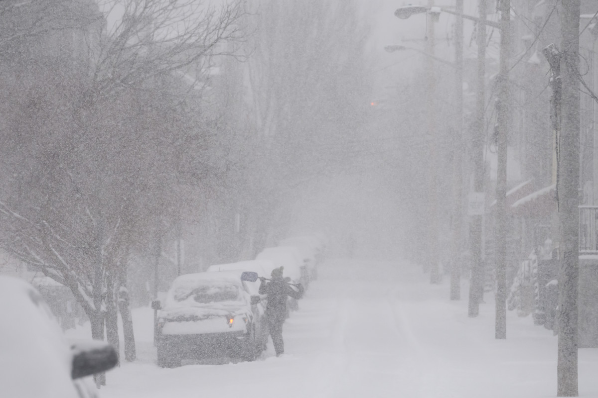
According to the Weather Prediction Center’s forecast discussion, a wide band of heavy snow is expected across the Northern Plains through the Upper Midwest, with 6 to 12 inches forecast for the region and totals exceeding a foot near the Great Lakes, where lake-effect snow will pile on after the main system passes. Blizzard conditions, sustained high winds combined with heavy snowfall producing whiteout visibility, are a strong possibility.
Cascades Under Winter Storm Warning
Meanwhile, the Pacific Northwest is dealing with its own winter event. A Winter Storm Warning is active for the Washington Cascades from March 12 through March 14. Forecasters are calling for 8 to 12 inches of snow during the day and an additional 9 to 13 inches overnight, with wind gusts reaching 38 mph.
Drivers on Interstate 90 through Snoqualmie Pass and Highway 2 through Stevens Pass should expect severe delays and potential road closures.
On the coast, the Weather Prediction Center is forecasting an additional 1 to 3 inches of rain for western Washington and northern Oregon, raising the risk of localized flooding and runoff on lower-elevation roadways. For the latest regional alerts and forecasts, visit the NWS Climate Prediction Center’s hazards outlook.
What Drivers Should Know
If you are planning to travel through any of the affected regions this weekend, preparation is essential. The single most important decision you can make is whether to travel at all. When the National Weather Service uses language like “blizzard conditions” and “near-impossible travel,” that is not hyperbole.
For those who absolutely must be on the road, reduce your speed well below the posted limit. In heavy snow and high winds, the posted speed is irrelevant; your safe speed is whatever allows you to maintain control and stop within the distance you can see. Disengage cruise control entirely. In snow, ice, or standing water, cruise control can cause your vehicle to accelerate into a skid rather than allowing you to naturally ease off the throttle.
Keep An Emergency Kit In Your Vehicle
Every driver traveling through winter weather should have a dedicated emergency kit in their vehicle. At a minimum, this should include a heavy blanket, a flashlight with extra batteries, a fully charged portable phone charger, bottled water, non-perishable snacks, and a basic first aid kit. A small shovel and a bag of sand or cat litter for traction can be the difference between getting yourself unstuck and waiting hours for a tow.
If you are traveling through mountain passes, carry tire chains and know how to install them before you need them on the side of the road in a blizzard.
Tires Are Your First Line Of Defense
Your tires are the only point of contact between your vehicle and the road, and in severe winter conditions, their performance is everything. If you are running all-season tires, understand that their grip diminishes significantly below 40°F.
Dedicated winter tires with the Three-Peak Mountain Snowflake (3PMSF) rating provide vastly superior traction in snow and ice. Regardless of tire type, check your tread depth and tire pressure before heading out.
Cold temperatures can drop tire pressure by 1 to 2 PSI for every 10-degree drop in ambient temperature, and underinflated tires compromise both grip and handling when you need them most.